Geotechnical Interpretive Report for an Earth-banked Lagoon
Minerals and Mining
Ground and Project Consultants Limited (GPCL) were appointed to undertake a slope stability assessment at a site in the south-east of England, following reports of slope instability adjacent to a residential area.
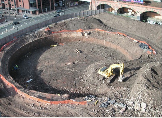
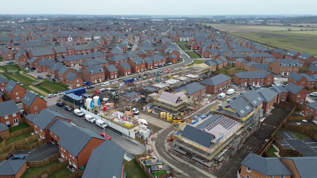
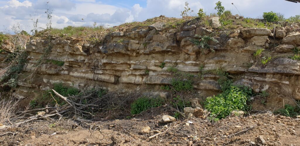
The study area is located within a former quarry, with residential development situated on the quarry floor. The surrounding slopes comprise a combination of remanent rock faces and engineered landforms, resulting in steep and complex slope conditions.
A slope failure occurred at the eastern end of the site in early 2021, resulting in the closure of an adjacent site.
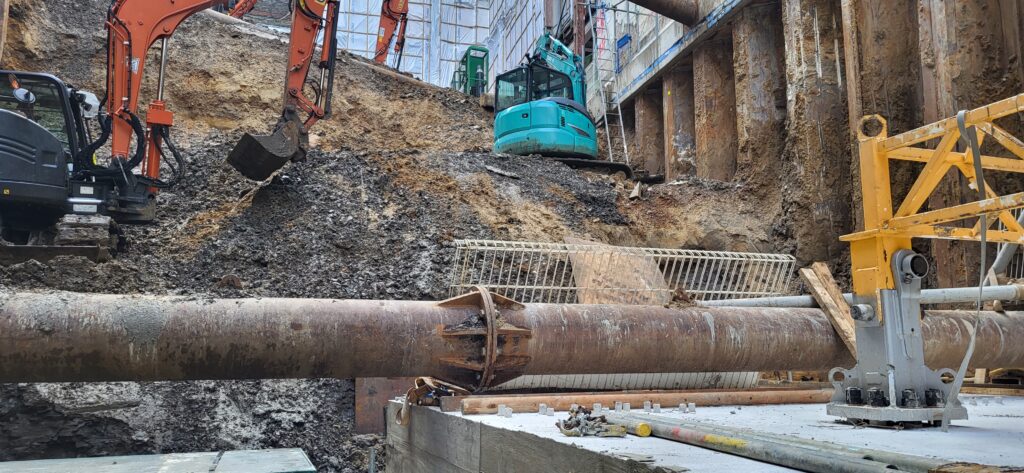
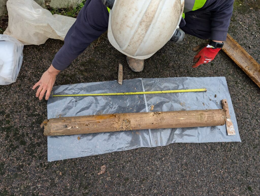
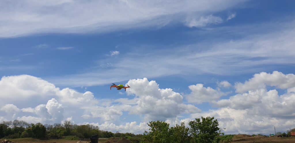
GPCL’s scope of work focused on a non-intrusive assessment, comprising a detailed site walkover survey and engineering geological logging of accessible and safely exposed faces. This was supplemented by drone-based photography and photogrammetry, enabling the collection of high-resolution imagery and the generation of a 3D point cloud and topographical model of the slope.
The photogrammetric outputs were used to develop a geomorphological plan, assisting in the identification of slope features, landforms, and areas of instability. The data also allowed for accurate measurement of slope geometry and the remote assessment of discontinuities within otherwise inaccessible rock faces.
The study concluded with the development of outline remediation options and recommendations for ongoing inspection and maintenance.
The innovative use of drone data enabled robust cost-effective assessment despite access constraints, helping the client prioritise remediation and manage risk effectively.